Appalachian Trail History & Facts
The Appalachian Trail was proposed in 1921 and established in 1937. It officially became part of the National Park Service in 1968. Total trail mileage varies year to year but hovers around 2,200 miles in length. It goes through 14 states, spanning from Springer Moutain in Georgia to Mount Katahdin in Maine. It also goes through 2 major National Parks, the Smoky Mountains and Shenandoah, and a number of state parks.
The National Park Service operates the trail in conjunction with the Appalachian Trail Conservancy (ATC), which is housed in Harpers Ferry, WV. In addition, there are 31 clubs/partnerships that help maintain the trail by doing things like removing fallen branches, picking up trash, cleaning the shelters, and painting fresh blazes. It is estimated that over 3 million people hike sections of the trail each year.
Southern Section

Georgia
Georgia contains 75 miles of the AT. The most famous part of the Georgia section is the approach trail and Springer Mountain, which is where most thru-hikers choose to begin.
North Carolina
North Carolina has 95.7 miles of the AT, not including the 200 miles that weave in and out of the NC/TN boarder. Key parts of the North Carolina section include the Nantahala Outdoor Center (the NOC), Max Patch, Mr. Cammerer, and Fontana Dam.
Tennessee
Tennessee has 71 miles of the AT, and just like NC, that does not include the 200 miles that run along the boarder. Points of interest in Tennessee are the Roan Highlands and Clingmans Dome in the Smoky Mountains.
Central Section

Virginia
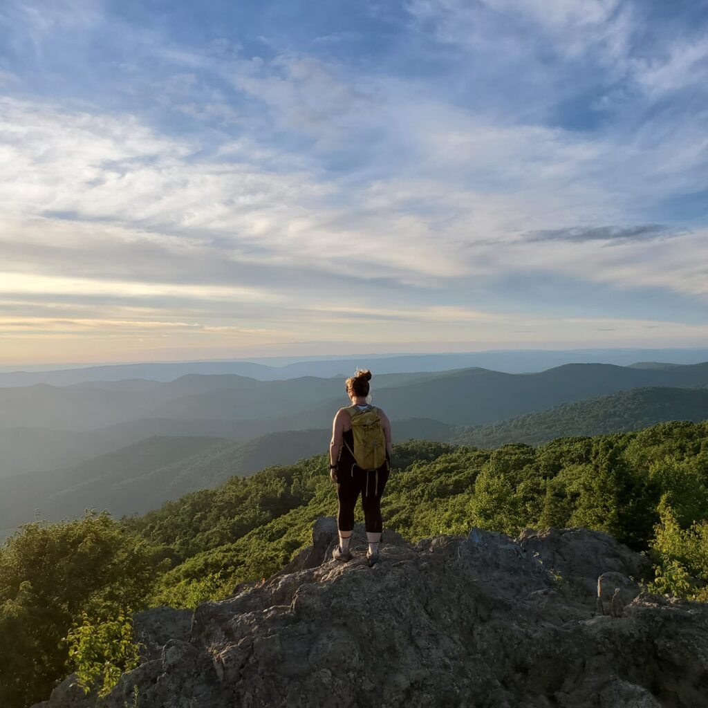
There are a whopping 550 miles of the AT in Virginia, 101 of them being in Shenandoah National Park. Key parts of the Virginia AT include McAfee Knob, all the parts along Skyline Drive in Shenandoah, Blackrock Summit, and the Rollercoaster.
West Virginia
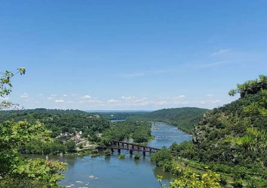
While there are only 4 true miles of the AT in West Virginia, it is an important state on the trail! The ATC Headquarters is located in Harpers Ferry, which is where you get your picture taken for the thru-hiker yearbook and is known as the “mental halfway point.” There is a lot to do in the town as it is also a National Historical Park, and is perfect for a few zero days.
Maryland
At only 40 miles, Maryland is the second shortest state. There aren’t many major points of interest; however, you will find a few beautiful overlooks and a campground with showers! Make sure to take the spur trails to Weverton Cliffs and Annapolis Rocks. The White Rocks and Washington Monument overlooks are right on trail.
Pennsylvania
Pennsylvania, otherwise known as “Rocksylvania”, has 229 trail miles. The southern portion is said to be one of the easiest parts of the trail. Some of the highlights include Pine Grove Furnace State Park, which is the actual halfway point, and where you can complete the “half gallon challenge.” People also enjoy going through the Delaware Water Gap and getting the famous picture on the bridge when you cross into New Jersey.
New Jersey
There are 72 trail miles in New Jersey. This state is known for its diverse terrain, which includes bogs, wetlands, heavily wooded areas and rocky surfaces. You are never far from a city while hiking in NJ, but it’s said that you can still see tons of good wildlife!
Northern Section
New York
With only 90 miles, New York is another state with under 100 trail miles. It’s not far from the city, and you can even see the Manhattan skyline while hiking through Harriman State Park. Also, an interesting fact is that Bear Mountain in NY was where the first 20 miles of the trail were established. The Lemon Squeezer and Prospect Rock are other key points of the AT in Ne w York.
Connecticut
The third shortest state is Connecticut, which holds just 51 miles of the Appalachian Trail. Lion’s Head is said to be the best view in CT, but the Connecticut portion is also famous for Bear Mountain, the highest point in the state.
Massachusetts
Approximately 90 miles of the AT run through Western Massachusetts. This section is considered difficult and is famous for Mount Greylock and Mount Everett, both of which are part of the Taconic Mountains.
Vermont
Vermont holds about 100 miles of the Appalachian Trail, which also happens to be part of the Long Trail (the Long Trail is 272 total miles). Rightfully so, Vermont was given the nickname “Vermud” because of its tendency to muddy most of the time. You pass through the southern portion of the Green Mountains, and reach over 4,000 feet elevation for the first time since Virginia (if hiking North).
New Hampshire
There are 161 miles of the Appalachian Trail in New Hampshire, most of which go through the infamous White Mountains. This is the most physically challenging part of the AT, since the elevation is so high (over 6,000 feet in some parts). It is mostly above the treeline, which means either amazing views in the sunshine, or severe weather conditions if not. Some of the highlights of the New Hampshire AT are: North Kinsman, Mount Washington (part of the Presidentials), and Franconia Ridge.
Maine
Maine has 282 miles of the AT. It is the most difficult all-around, considering terrain and its remoteness. It is famous for having the hardest mile on trail: Mahoosuc Notch, and the Hundred-Mile Wilderness, and Mount Katahdin. The Hundred-Mile Wilderness is the most remote section of the AT with nowhere to resupply; meaning, you must pack in 10 days worth of food. Mount Katahdin is located in Baxter State Park, and is the final summit on the AT if hiking NOBO.
Official Trail Towns

There are 51 official “trail towns” along the Appalachian Trail. Some of the most famous are:
Harpers Ferry, WV,
Fontana Dam, NC
Monson, ME
Hot Springs, NC
Damascus, VA
For a full list of towns, visit the ATC page.
How to hike the Appalachian Trail

Thru-hike
Thru-hiking is what most people aspire to do, although, few people actually complete it as a true thru-hike. A “thru-hike” is considered an end-to-end backpacking trip, completed in one calendar year. This takes an immense amount of planning and money, and requires you to be off work for 5-6 months. Most people spend $10,00-15,000 to thru-hike, though it can be done for less if you really try. The money is needed for resupplying, hostel stays, gear mishaps, shuttle fees, and money needed for zero days.
Section Hike
Section hiking seems to be the way to go for most people who aspire to complete the AT. You can do a small section over 2 or 3 days, or large sections over 2-3 weeks. Some people section hike the AT in a just a few years, while others might spend most of the lifetime chipping away at different sections when they get the chance.
Day Hike
Day hikers typically enjoy the sections of the trail that is closest to where they live. I consider myself a section hiker, but so far I’ve only ever done day hikes. However, I’ve completed about 75 miles of the trail spanning from Shenandoah National Park to just past Caledonia State Park in Pennsylvania. I hope to do some section hikes in the years to come.
Fun Facts about the AT

Hardest Section
According to REI, the top 5 hardest sections of the AT include: Cheoah Bald in the NOC, Mount Madison and Mount Washington in Hew Hampshire, and Mahoosuc Notch and Mount Katahdin in Maine.
Easiest Section
The easiest section is said to be either the section in Shenandoah National Park, or Maryland into the Southern part of PA. I live in Maryland and it’s true, it’s pretty flat! In fact, if you plan your day hikes accordingly, you can do most of this section going downhill.
Best Section
Some of the most popular sections of the AT include the Grayson Highlands, the Triple Crown in Southern Virginia (McAfee Knob, Dragon’s Tooth, and Tinker Cliffs), Max Patch, Franconia Ridge, and Baxter State Park.
Interesting Facts
- It is the longest “hiking only” trail in the world
- Less than 22,000 people have successfully completed the AT
- Only 25% of the people who set out each year to thru-hike actually complete the trail
- You can see wild ponies in the Grayson Highlands
- The Appalachian Mountain range is said to be the oldest mountain range on the planet
- “Trail Days” takes place every year in Damascus, VA
- It is customary to receive a “trail name” when thru-hiking
- There is a lake on the AT in Maine that you must take a canoe to cross
- The actual halfway point is in Pine Grove Furnace State Park in PA, where thru-hikers can do the “half gallon challenge” in honor of making it halfway
- Some thru-hikers choose to take on the “4 state challenge” by crossing 4 state borders in 24 hours (Virginia, West Virginia, Maryland, and PA)
- Most hikers go north-bound, starting in Georgia in March or April
Last Updated: March 11, 2023
Leave a Reply